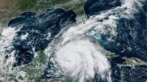
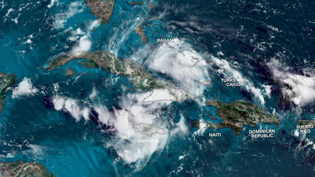
A well-defined tropical wave approaches Florida and the Gulf of Mexico. The National Hurricane Center has designated it as Invest 97L.
Forecasters warn residents from Louisiana to Florida’s west coast to stay alert. The system could develop into Tropical Storm Debby, potentially impacting the mainland U.S. this weekend.
Potential Storm Path: Florida to Carolinas
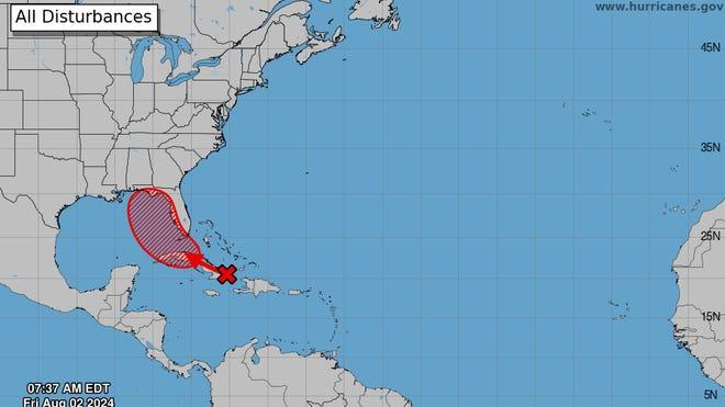
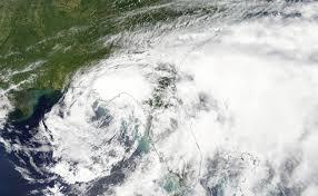
Weather models predict a track toward the Florida Peninsula this weekend. The system may then turn northeast, hugging the coasts of Georgia and the Carolinas.
Its slow movement could prolong storm impacts in affected areas. Historical data shows that slow-moving storms can cause 2-3 times more rainfall than faster-moving systems.
DeSantis Declares State of Emergency

Governor Ron DeSantis has declared a state of emergency for 54 of Florida’s 67 counties. This proactive measure aims to prepare for potentially weekslong river flooding.
Florida has experienced 120 hurricane landfalls since 1851, more than any other state. The declaration allows for rapid mobilization of resources and evacuation orders if necessary.
Tropical Depression Likely This Weekend
The NHC predicts the formation of a tropical depression over the Straits of Florida or eastern Gulf of Mexico. Environmental conditions favor additional development near the Florida Peninsula.
Tropical storm watches or warnings may be issued for portions of Florida. On average, 12 named storms form annually in the Atlantic basin.
Heavy Rains Threaten Florida, Cuba, Bahamas
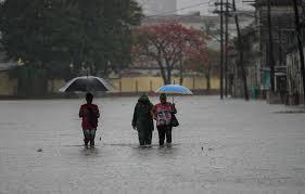
Forecasters warn of potential flash flooding across Florida, Cuba, and the Bahamas. Residents should monitor the system’s progress closely.
Historical data shows that tropical systems can produce rainfall rates exceeding 2 inches per hour. Flash floods account for nearly 50% of tropical cyclone-related fatalities in the U.S.
Rapid Intensification: A Growing Concern
Experts advise readiness for possible rapid intensification of the system. This phenomenon, defined as a 35 mph increase in wind speeds within 24 hours, has become more common in recent years.
Studies indicate a 4.4% increase per decade in rapid intensification events since the 1980s.
NWS Tampa Emphasizes Hurricane Preparedness

The National Weather Service in Tampa urges residents to review hurricane preparedness plans. They stress the importance of assessing individual vulnerability to flooding.
FEMA recommends having at least a 3-day supply of non-perishable food and water per person. Only 17% of Americans report being “very prepared” for a natural disaster.
Criteria for Naming: Tropical Storm Debby
The system will be named Tropical Storm Debby if sustained winds reach 39 mph. This would mark the fourth named storm of the 2024 Atlantic hurricane season.
The National Hurricane Center has used alphabetical naming since 1953. An average Atlantic hurricane season produces 14 named storms.
Peak Hurricane Season: August to October
August, September, and October represent the peak of Atlantic hurricane activity. Warm water temperatures, low wind shear, and increased humidity contribute to storm formation.
September 10 marks the climatological peak of hurricane season. 80% of major hurricanes occur during these three months.
2024 Forecast: Extremely Active Season
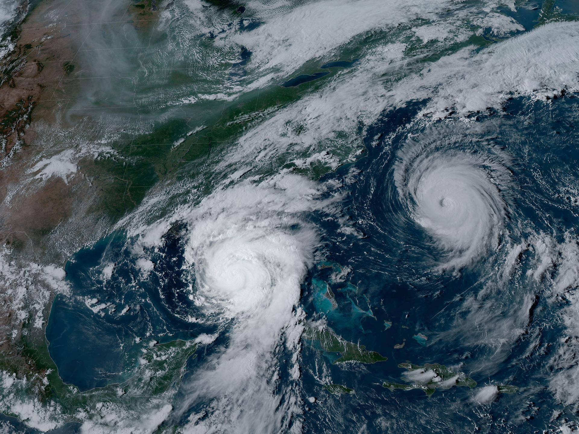
Experts predict an extremely active 2024 Atlantic hurricane season. Factors include above-average sea surface temperatures and a potential La Niña development.
The 2020 season set a record with 30 named storms. Forecasters urge coastal residents to remain vigilant throughout the season.


